
Stretching between 82 and 142 kilometres across the rolling, frequently unforgiving landscape of Northern Ireland, St Patrick’s Way traces a signed walking route from Armagh, the city of two cathedrals and considerable ecclesiastical self-importance, to Downpatrick, where Saint Patrick himself is believed to be buried, which is either a fitting destination or an irresistible punchline, depending on one’s disposition.
The trail, waymarked with a stylised bishop’s crozier, has quietly accumulated a decade of footsteps and a reputation as Ireland’s answer to the Camino de Santiago, which is ambitious framing for a route that includes canal towpaths, muddy forest paths, and at least one beach nobody warned you about adequately.
The route begins at the Navan Centre, just outside Armagh, at grid reference H844449, and ends either at St Patrick’s Centre or Down Cathedral in Downpatrick, roughly 132 to 142 kilometres later, depending on which measurement one trusts.
Seven sections break the journey into digestible pieces: Navan to Armagh is a modest 5 kilometres, fundamentally a warm-up; Armagh to Scarva stretches 29 kilometres of urban and rural paths; then 20 kilometres of canal towpath carry walkers from Scarva to Newry, which has a certain industrial poetry to it.
The terrain shifts dramatically after Newry. Rostrevor arrives after 15 kilometres with 333 metres of elevation gain. The legs begin their formal complaints here.
Then comes the longest section, Rostrevor to Newcastle, clocking 38 kilometres through the Mourne Mountains, where Spelga Dam, Slieve Donard, and a procession of twelve mountain peaks reward those who haven’t already reconsidered their life choices.
The mountains don’t perform for anyone; they simply exist, magnificent and indifferent, which is oddly clarifying.
Newcastle to Downpatrick covers the final stretch across Tollymore Forest Park, Murlough Bay Nature Reserve, past Dundrum Castle, along Tyrella Beach, a sensory overload in the best possible sense, salt air and pine and ancient stone accumulating into something that feels, if one permits it, genuinely moving.
The total elevation gain sits around 1,693 metres across the full trail, with daily walks running 12 to 24 kilometres and taking roughly three to five hours, assuming nobody lingers too long staring at views they hadn’t anticipated.
Experienced hikers complete the trail in six to nine days, though self-guided packages luggage transfers included, costs hovering around £1,110 soften the logistics considerably. Those with broader appetites for the region might also note that whiskey tourism experiences in Northern Ireland range from modest day tours to multi-day luxury journeys, offering a natural complement to the trail’s heritage-rich itinerary.
Accommodation ranges from guesthouses to hotels like the Mourne Country Hotel and Rostrevor Inn, so suffering remains optional and largely voluntary.
Sturdy footwear with grip is non-negotiable; a map and compass as backup remain sensible, given that waymarkers, however charming, occasionally develop opinions about their own visibility. Weather in Northern Ireland can shift without consultation or apology, making layered waterproof clothing less a suggestion than a quiet act of self-preservation.
The trail is available from early April to the end of October, offering no fixed departure dates for self-guided walkers and considerable flexibility in when one chooses to begin.
What the trail ultimately offers is less revelation than accumulation kilometres, landscapes, heritage sites, and the particular satisfaction of arriving somewhere ancient under one’s own power.
Things to See and Do Along St Patrick’s Way
Walking St Patrick’s Way is as much about the cultural stops as the miles themselves. The route quietly passes through some of the most historically layered landscapes on the island.
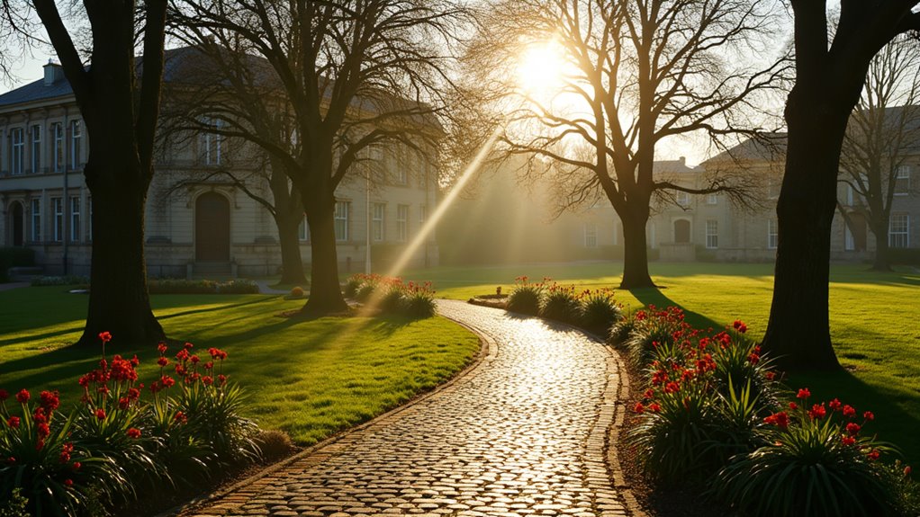
Armagh – Ireland’s Ecclesiastical Capital
The trail begins near the Navan Centre & Fort, an archaeological site believed to be the ancient royal capital of Ulster. Before setting off, walkers often explore the two cathedrals that dominate the skyline:
The city also houses the remarkable Armagh Observatory and Planetarium, one of the oldest observatories in the British Isles.
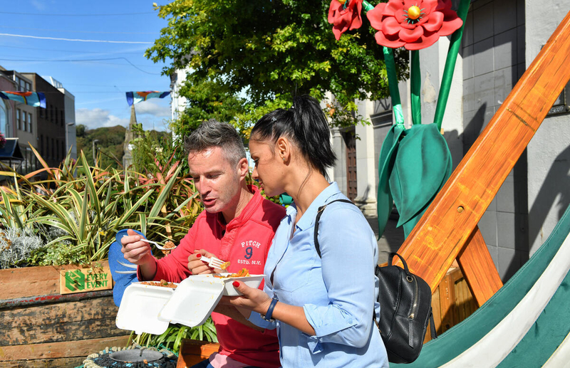
Where to Eat in Armagh
-
Uluru Bar & Grill – popular for hearty meals before beginning the trail.
Places to Stay
Scarva and the Canal Walk
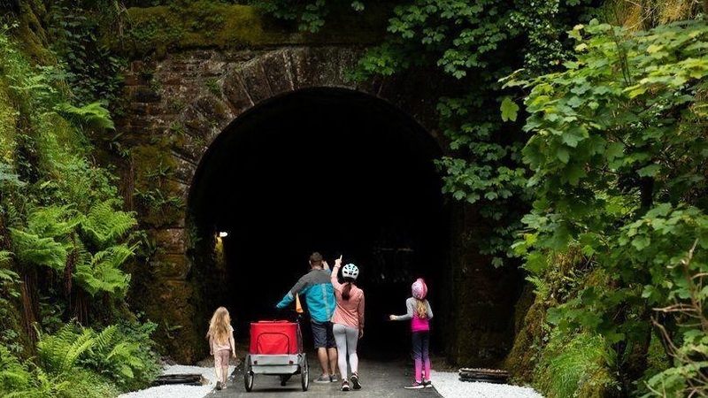
The stretch from Armagh to Scarva introduces walkers to the gentle rhythm of Northern Ireland’s countryside. Scarva itself sits along the Newry Canal Towpath, one of the oldest summit-level canals in the UK and Ireland.
Where to Eat
-
The Canal Court Hotel Bistro – a comfortable stop once you reach Newry.
Newry – A Historic Trading Town
Newry marks the halfway point for many walkers and is a good place for supplies or a rest day. The town’s narrow streets and Georgian buildings hint at its centuries as a trading port.
Walkers often detour briefly to Bagenal’s Castle, which now houses the Newry and Mourne Museum.
Where to Eat
-
Art Bar Funkel – creative dishes and excellent coffee.
-
The Shelbourne Bakery & Restaurant – legendary locally for breakfast.
Places to Stay
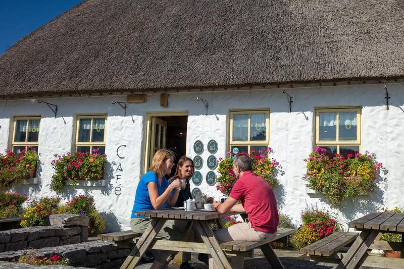
Rostrevor and the Mourne Mountains
After Newry, the terrain rises dramatically as the trail reaches the foothills of the Mourne Mountains.
Rostrevor village sits beside Carlingford Lough, and nearby Kilbroney Park offers spectacular forest trails and views.
This is also the gateway to Slieve Donard, Northern Ireland’s highest mountain.
Where to Eat
-
The Old School House Inn – excellent local seafood and Irish dishes.
Places to Stay
Newcastle – Seaside and Mountain Views
After crossing the Mournes, walkers descend into Newcastle, one of Northern Ireland’s classic seaside towns.
Nearby highlights include:
-
Tollymore Forest Park – ancient woodland used as a filming location for Game of Thrones.
-
Murlough National Nature Reserve – a rare coastal dune system managed by the National Trust.
Where to Eat
-
Villa Vinci – Italian cuisine popular with hikers.
-
The Maghera Inn – classic Irish pub food nearby.
Places to Stay
-
Slieve Donard Hotel – historic seaside hotel overlooking the mountains.
Final Stretch: Dundrum, Tyrella, and Downpatrick
The final section may be the most visually varied, combining castles, beaches, and ancient religious sites.
Highlights include:
-
Dundrum Castle – a 13th-century Norman fortress with sweeping views over Dundrum Bay.
-
Tyrella Beach – a wide, windswept strand that feels almost cinematic.
The journey ends at Down Cathedral, believed to be the burial place of Saint Patrick, alongside Saint Brigid and Saint Columba according to tradition.
Nearby, the Saint Patrick Centre provides the only permanent exhibition in the world dedicated to Ireland’s patron saint.
Where to Eat
-
The Cuan – renowned seafood restaurant near the trail’s end.
Best Time to Walk St Patrick’s Way
The official walking season runs April through October, though conditions vary dramatically depending on when you go.
Late April – June
-
Long daylight hours
-
Wildflowers across the Mourne foothills
-
Ideal temperatures for walking
July – August
-
Warmest weather
-
Busiest tourist season in coastal towns
-
Occasional heavy rain showers
September – Early October
-
Arguably the best time overall
-
Fewer crowds
-
Clear mountain views and autumn colours in the forests
Winter walking is possible but rarely recommended for the full route due to shorter daylight hours and challenging conditions in the Mourne Mountains.
Practical Tips for the Walk
-
Allow 6–9 days to comfortably complete the entire route.
-
Pack waterproof layers, the weather along the Irish Sea can change within minutes.
-
Book accommodation early, particularly in Newcastle and Rostrevor during summer.
-
Consider a luggage-transfer package, which allows you to walk with only a daypack.
Many walkers treat the route as a spiritual or reflective journey, but others simply enjoy it as one of Ireland’s most varied long-distance trails, combining mountains, coastline, historic towns, and a finishing line steeped in Irish legend.